 Member Connect
What Is GPS?
How does your GPS app get you such accurate directions, and so quickly?
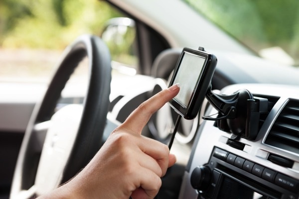
Thanks to GPS, I always know exactly where to go and I almost never get lost, no matter where I'm at. I remember back when I was 18 and took one of my fist road trips from Georgia to Texas. I can't remember how many times I got lost, standing by the side of the road studying maps or at the local gas station asking for directions. Let's just say it was a lot. I think most people take for granted how easy it is to find their way around today. With turn-by-turn direction from your GPS in your car or on your smartphone, the art of reading a map is quickly disappearing. It used to a big joke that men don't ever stop to ask for directions. Now we don't have to thanks to GPS. Have you ever wondered where this technology came from or how it works?
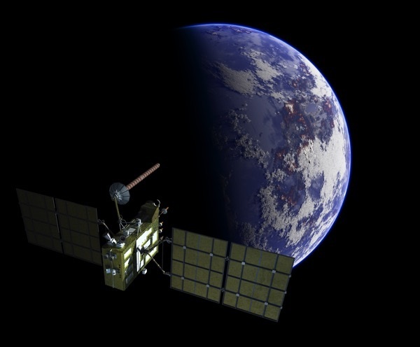
GPS stands for Global Positioning System. It's a satellite-based navigation system first created in the 1980s by the United States Department of Defense for military use. The system was eventually made available to public, at no cost, in the late 90s.
GPS consists of a network of 31 solar powered satellites that transmit radio signals to users at the speed of light. They are positioned so that at any given time there are at least four satellites visible from any point on Earth. The signals travel by line of sight. This means they will pass through clouds, glass, and plastic but will not go through most solid objects like buildings and mountains, or under water.
So how does it work? Your GPS receiver gathers radio signals from at least four satellites. GPS receivers pick up these signals and measure the distance to a satellite by multiplying the speed of the signal by the time it takes the signal to get there. The speed of the signal is the speed of light and the time is encoded within the signal. The satellites also send information on their exact location. GPS receivers use mathematical principal of trilateration to give your exact location. Your GPS receiver calculates your latitude, longitude, altitude, and movement. That information is then displayed on your device in a way you can understand it: in the form of a map, for example.
Your navigation system uses maps and software to determine your course of travel. GPS satellites do not provide the maps; they simply provide the position. That information is then overlaid on top of the maps by your navigation system. After you enter your location, you enter your destination, and the navigation software plots a route between the two.
It's very true that your GPS navigation is only as good as your map database. The quality and freshness of the map, along with the local knowledge of your navigation software, will determine how accurate your system will be. For example if the map you're using is not up to date and you're driving in a relatively new housing development, your location might not even show up on your device. If you keep your maps up to date, GPS is accurate on average up to three meters.
GPS technology is used in many different applications. GPS is used in smartphones, watches, ATMS, shipping containerseven golf balls. Tractors employing GPS technology can plow fields without human operators. GPS is also used to track the movement and behavior of animals. Did you know it's been discovered, using GPS technology, that Mount Everest is actually growing?
Now that we have been spoiled by the ease and speed of GPS, it's hard to imagine modern life without it. Have you had an experience in which GPS has saved the day?