 Member Connect
6 Best Mobile Map Apps for Summer Travel
Taking a road trip during the summer months is an opportunity to see new sights and enjoy time with loved ones. Although a road trip is an exciting summer activity, it is important to have maps to navigate around detours or roadwork.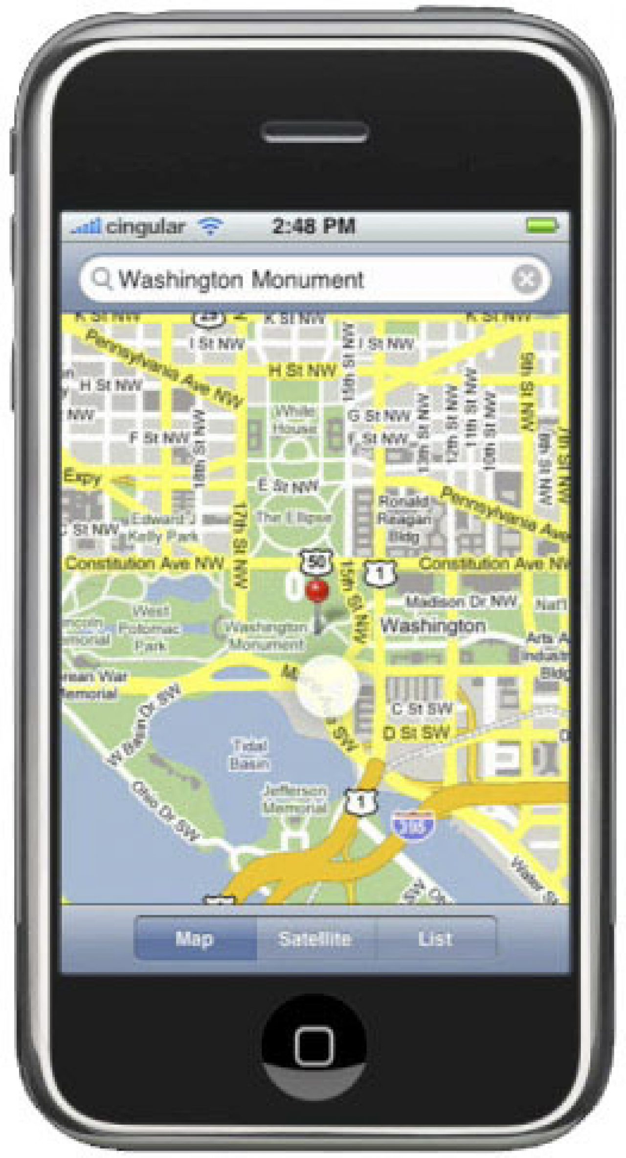
Taking a road trip during the summer months is an opportunity to see new sights and enjoy time with loved ones. Although a road trip is an exciting summer activity, it is important to have maps to navigate around detours or roadwork.
Google Maps
The Google Maps application is a great option to avoid getting lost or find new directions to get around roadwork or other challenges that get in the way during a trip. The application works on most Smartphones and tablet devices, so it is appropriate as a navigational tool for any individual. The application is free to download, but it does use data to find directions and provide images, so it may add up if a data plan is limited.
MapQuest App
The MapQuest application is a free navigational and GPS app for Apple’s iPhone and Android devices. It provides turn-by-turn directions, which can help after getting off at the wrong exit or facing a complicated detour that results in getting lost.
National Parks Map
The National Parks Map application by National Geographic is the perfect tool to get around the National Parks during a trip. The application features 15 National Parks and it provides details like directions to a campsite, a tool to find the phone in the park and information about the distance to the destination. The app is designed for Apple iOS products and it costs $4.99.
Exit Strategy
Exit Strategy is a mobile map application specifically designed for getting around New York City. The application helps commuters find the subway line and the appropriate exit to get to the nearest stop to a specific destination. The application works with Android devices, Apple’s iPhone and BlackBerry phones, so it is compatible with most mobile devices. It costs $4.99.
WikiHood
The WikiHood application is the ideal way to find out about local attractions, historical details and general information about a neighborhood. It is perfect for a road trip that has several stops to the vacation destination because it gives activities to enjoy during the trip. The app is free and works on Apple iOS devices.
CabSense NYC
CabSense NYC is a mobile app that helps commuters around the Big Apple find the nearest corner that is likely to have cab services at specific times of the day. It finds the user and then shows a map to the nearest streets that have a high concentration of cabs. The application works on Android and Apple iOS products and is free to download and use.
Map applications are useful during summer trips because they provide directions, tips to find local attractions and useful transportation services.